
Description
Computer based chart plotting
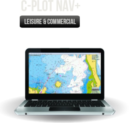
C-PLOT NAV+ Provides an intuitive, reliable and easy to use computer-based chart plotting system. Designed for both recreational and professional applications. Incorporating Navionics charting capabilities, the system links with new cartography for ease of management and navigation.
C-plot can also be integrated via standard NMEA 0183 to provide extra user information including AIS.
C-PLOT CONNECTIVITY OPTIONS
Display: The screen displays all navigational data overlaid on a user-selected chart with a GPS input, the vessel’s position, speed and heading are displayed. Using NMEA 0183 compatible equipment, depth, temperature, heading and AIS targets can be displayed and stored to enhance navigation data.
Charts: C-Plot Nav+ supports Navionics+ cartography, providing flexible charting with constant updates. Just select an area of coverage within your region and download the required chart data to your card. You can download updates or new areas at any time during the following 365 days.
Track: Indicates historical information on vessels’ past movement. Track points can be recorded by user-defined distance or time intervals. C-Plot Nav+ offer 16 user-defined colours for vessel track, depth and temperature.
Assisted Routing: By simply selecting two points, C-Plot Nav+ will calculate a safe and navigable route for you to follow.
User Data: Routes, marks and events can be added easily by either point and click or menu function. Since C-Plot Nav+ is a computer-based system, the amount of user and navigation system stored is only limited by the computer hard drive capacity
Range and Bearing: Controlled by the cursor, C-Plot Nav+ provides navigational information such as the bearing and distance between two points or between your vessel and a fixed point.
Connectivity: C-Plot Nav+ can be integrated via standard NMEA 0183 to radar for ARPA target, sounder for temperature and depth, autopilot for route steering and AIS target information including other vessel name and MMSI number.
Closures: C-Plot Nav+ allows the user to load and display files from other mapping systems. These files can be closures or restricted areas or SAR patterns.
3D Seabed Mapping: Piscatus 3D .(optional extra) is a comprehensive three-dimensional fishing tool that shows you exactly what is happening when you fish. View your boat, the seabed and the fish you catch…all in an animated 3D landscape.